Tuesday, April 23, 2013

4 Online Opportunit​ies to Learn About Spatial Thinking - Web Mapping

Aloha All:

There are several upcoming online, fun, engaging, challenging, and relevant opportunities to learn more about web-based mapping, including ArcGIS Online and other tools, and how to teach and learn about spatial thinking and geotechnologies.  We will have plenty geography, business-related, earth and environmental science content in here – plate tectonics, ecoregions, watersheds, business site location, population change, land use, coastal erosion, climate, and more.  While not necessarily for those of you with years of experience in GIS and GIScience, perhaps telling your colleagues who you have been wanting to dip a toe into the geospatial waters about these opportunities would be a great first step for them.

(1)  Isn’t That Spatial:  Introduction to Spatial Thinking: http://www.enetcolorado.org

 Join us for a 5 week immersion in the foundations of thinking spatially and applying the foundations to real-world issues and problem based learning through skill building in web mapping technologies.   Issues addressed include landscape and population change, natural hazards, climate, mapping your own field data, and more.  The course includes active discussions, hands-on activities, networking, self-assessments, and the development of your plan to implement these foundations and skills.  I am teaching this course and it runs 20 March – 30 April.

 (2)  Investigations in Spatial Thinking: http://www.enetcolorado.org

 Dig deeper with investigations in spatial thinking.  This 5 week course builds on the first spatial thinking course and makes use of today’s easy-to-use but powerful web mapping technologies.  You will build a project including your own web map for use in teaching and learning, as well as investigate topics in human settlement, ecoregions, and others from local to global scale.  I am teaching this course and it runs 20 March – 30 April 2013.

 (3)  Online Course:  Maps and the Geospatial Revolution!: https://www.coursera.org/course/maps

Learn how advances in geospatial technology and analytical methods have changed how we do everything, and discover how to make maps and analyze geographic patterns using the latest tools.   This is a MOOC (Massively Open Online Course) through Penn State University, instructor is Dr Anthony Robinson.   It is 5 weeks long and begins on 17 July 2013.

(4)  As a reminder, a 3-hour online  course that was developed by our colleague here at Esri that is freely available online at ANY TIME is entitled “Teaching with GIS: Introduction to using GIS in the classroom” and is available through the Esri campus: http://esriurl.com/vcteachingwithgis

 These opportunities are listed, along with other events, on the GIS education community calendar on the right side of http://edcommunity.esri.com

 Original post by Joseph Kerski, Education Manager for Esri

Wednesday, March 6, 2013

MOOC Maps and Geotech Course Available!


ESRI Education Manager Joseph Kerski has been working with Penn State to develop the first ever MOOC (Massively Open Online Course) in mapping and geotechnology! If you would like to join in, it starts on 17 July 2013 and is 5 weeks long:
Register for the course on: https://www.coursera.org/#course/maps 


Thursday, February 21, 2013

Understanding the Digital Generation


Ian Jukes recently authored a book titled Understanding the Digital Generation, which "explores the fundamental characteristics of the children in this new digital generation." This book is a great read for educators and parents alike to better understand the digital world our young people live in, and how to best enhance their learning abilities and experiences. More information on the book can be accessed here: http://store.fluency21.com/collections/all/products/understanding-the-digital-generation.

The most frequently asked questions about Jukes' work can be found here:
http://fluency21.com/blog/2013/02/19/ask-ian/

Original post by ESRI Education Manager Joseph Kerski

Wednesday, February 6, 2013

The Importance of Being Critical of Map Data, Even it is Your Own...

http://spatialreserves.wordpress.com/2013/02/03/be-critical-of-data-even-if-it-is-your-own/

This simple example points to the serious concern about the consequences of using data without being critical of its source, spatial accuracy, precision, lineage, date, collection scale, methods of collection, and other considerations. Be critical of the data, even when it is your own!

Source: Joseph Kerski, Education Manager for ESRI

Monday, February 4, 2013

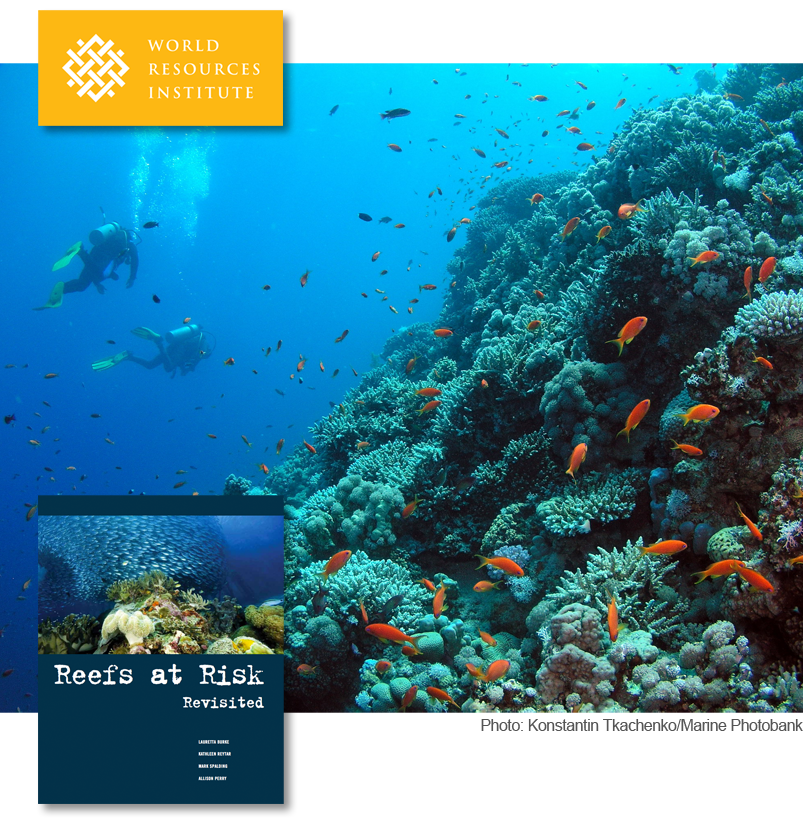
Coral Reefs at Risk

Coral reefs occupy less than one percent of the Earth’s marine environment, but are home to more than a quarter of all known marine species. Reefs also serve as a buffer against incoming storm surges, protecting local populations. Unfortunately, coastal ecosystems are threatened by human activities including overfishing, agriculture, and urban development.
The World Resources Institute and its partners have assessed the threats to the world’s coral reefs. WRI's Reefs at Risk Revisited report is intended to raise awareness about the location and severity of threats to coral reefs. These results can also catalyze changes in policy and practice that could safeguard coral reefs and the benefits they provide to people for future generations.
Check out the report's maps at http://www.arcgis.com/apps/Compare/storytelling_tabbed/index.html?appid=f537896f8e30481e901938eb049a73a0.

Post source: Joseph Kerski, Education Manager for ESRI

Friday, November 9, 2012


Applications to "Teachers Teaching Teachers GIS (T3G)" institute are due Nov 30, and they have started coming in. If you want to help educators use GIS, please consider applying. We seek 100 people who can help engage educators with ArcGIS Online. For more info, see


Original post by Joseph Kerski, Education Manager for Esri

Monday, August 13, 2012

Tribal GIS

Check out the new book Tribal GIS available now on Esri: http://esripress.esri.com/display/index.cfm?fuseaction=display&websiteID=212&moduleID=0


Joseph Kerski, Education Manager for Esri, summarizes Tribal GIS: Supporting Native American Decision Making below:

"In Tribal GIS: Supporting Native American Decision Making, tribal leaders tell their stories about implementing and using geographic information systems (GIS) to address their unique challenges as sovereign Nations. This book covers applications in natural resources and the environment, transportation, cultural and historical preservation, economic development, health, education, public safety, and agriculture. Showing how tribal governments responsible for the stewardship of their land and resources and the health and well-being of their People use enterprise GIS to make decisions, Tribal GIS supports tribes new to GIS and those with GIS experience.
Folks: Be assured that we included several chapters on education in this book. I think you will find these, and the other 30 + stories in this book, inspiring."